|
|
August 10, 2006
HPWREN connects new San Clemente Southern California Coastal Ocean Observing System (SCCOOS) Surface Current Mapping System
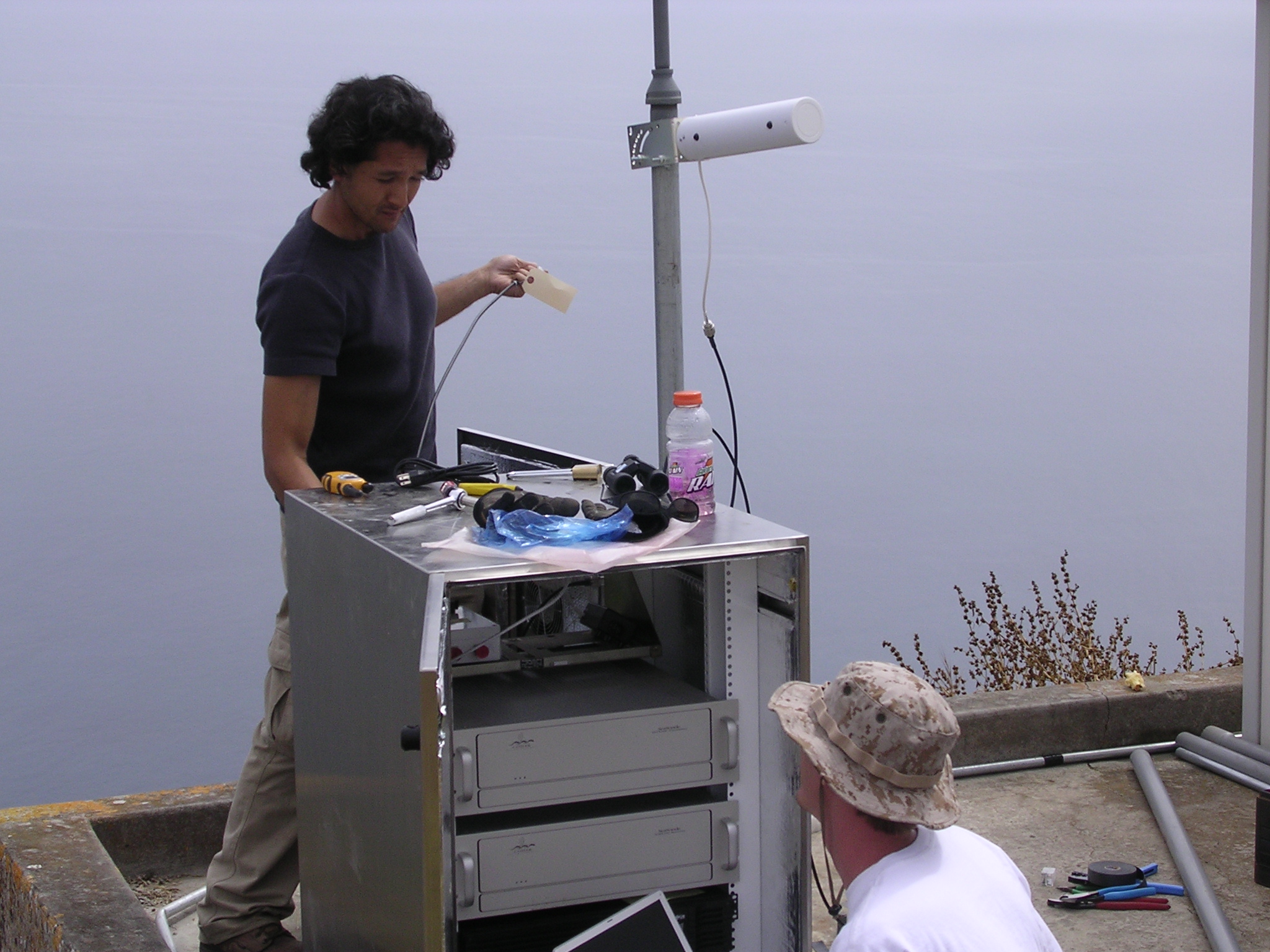
In June 2006, the Southern California Coastal Ocean Observing System (SCCOOS) added a new station on San Clemente Island (SCI), augmenting earlier stations described at /news/060310.html. This was facilitated by an upgraded link to SCI, and a wireless extension on the island to this new station. SCCOOS HF radar technicians continuously research and test new and reliable communications equipment as part of the Surface Current Mapping Antennas installation. Often times, the best locations for these systems are in remote areas, which lack any communications infrastructure. HPWREN has provided several sites with wireless communications for remote, long-haul legs. SCCOOS members worked with HPWREN on final mile communications and as previous solutions became obsolete or discontinued, technicians began replacing the hardware with new technology. Reliable communications are essential for data transport in order to provide near real-time looks at surface currents, and meteorology conditions. SCCOOS data managers continue to assess and expand data products to meet the needs of data users. Programmers focused on a common Application Programming Interface (API) for accessing data across multiple data sets. This enables transparent access to data sets collected and stored in multiple locations, formats, and programs. Emphasis on backend compatibility and structure allows for ease in future development of multi-layered and integrated data products. Design and implementation of an HF radar diagnostics page facilitates system management and centralized data quality checks. SCCOOS programmers collaborated with HF radar users and CODAROS personnel for input into display and metadata fields of a system diagnostics page. The page shows system variables such as database latency, number of solutions, percent of data availability, etc., in order to depict overall system health and functionality. Managers can begin to use this interface as a quick look for operational management. System diagnostics can be found at http://www.cordc.ucsd.edu/projects/mapping/. First select area of interest and then individual HF radar station. System information is displayed in both graphical and textual format.
The deployment of this site at San Clemente Island allows for the mapping of currents off shore from San Pedro to La Jolla, filling in a wide area. These current maps will allow for experimental plume trajectory mapping nearshore and off the coast, search and rescue response, oil spill response, and naval operations. Having an offshore site to combine with coastal systems provides baseline coverage during vector calculation of radial data for systems along the coast.
Personnel from the Coastal Observing Research and Development Center (CORDC) worked on implementing the surface current mapping system in association with members from the San Diego Super Computer Center (SDSC) who are providing the backbone link to San Clemente Island. An additional upgrade to improve reliability was moving the Mt. Woodson connection to Point Loma, which also extends to the Coronado Islands and PEMEX, to a higher performance link via the UCSD Hillcrest hospital to the HPWREN backbone node at the San Diego State University. Additional pointers:
Lisa Hazard
|